
 About Us
Navionics® Boating
Version: 24.0
Developer: Garmin
 Verified App
 Advertisement


The Navionics® Boating app is your ultimate companion for navigating waterways with confidence. Offering detailed nautical charts, real-time updates, and advanced mapping features, it empowers boaters to explore coastlines, lakes, and rivers safely. With tools for route planning, weather forecasts, and community-driven insights, the app enhances your boating experience, whether you're a seasoned mariner or a weekend adventurer. Discover new destinations and enjoy seamless navigation with Navionics® Boating at your fingertips.
Advertisement
Features of "Navionics® Boating"
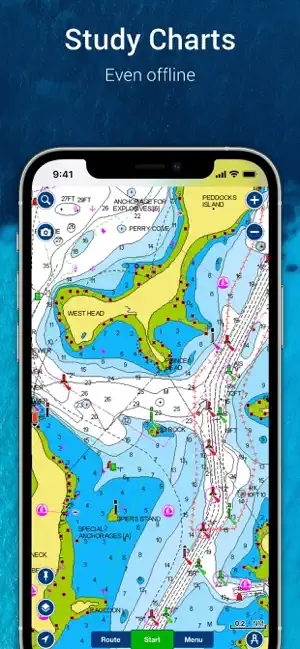
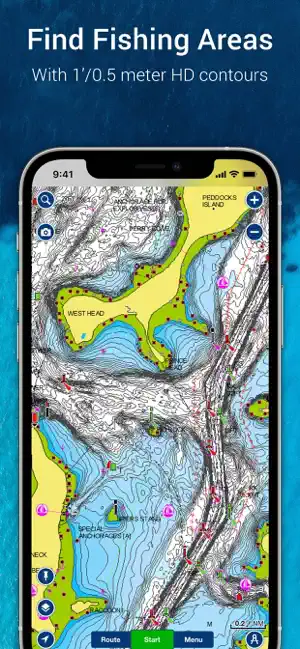
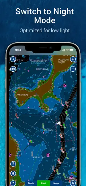
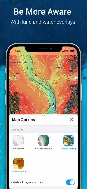
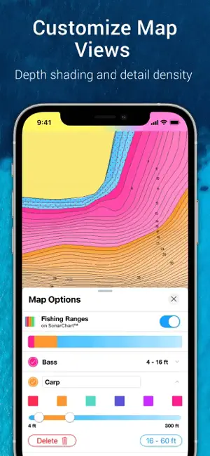
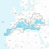
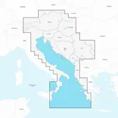
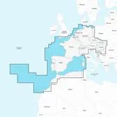
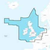
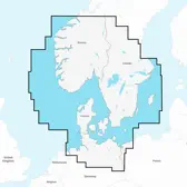
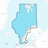
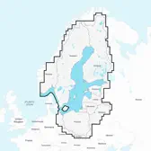
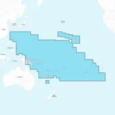
"Navionics® Boating" is a comprehensive marine navigation app designed for boaters and fishermen. One of its standout features is the detailed nautical charts that provide users with essential information about water depths, hazards, and navigational aids. The app also includes advanced mapping capabilities, allowing users to view satellite imagery and overlay charts for enhanced navigation.
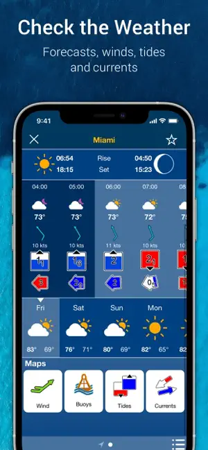
Another key feature is the ability to create and save routes, which helps users plan their journeys efficiently. The app offers real-time updates on tides and currents, ensuring that boaters can make informed decisions based on current conditions. Additionally, users can access a community-driven database of points of interest, including marinas, fishing spots, and other essential locations.
Furthermore, "Navionics® Boating" supports offline access, enabling users to download charts and use them without an internet connection. The app also integrates with various devices, including plotters and smartphones, providing seamless connectivity for a more streamlined boating experience. Overall, these features make "Navionics® Boating" an invaluable tool for anyone navigating the waters.
How to Use "Navionics® Boating"
Using "Navionics® Boating" is straightforward and user-friendly. First, download the app from your device's app store and create an account to access its full range of features. Once installed, you can explore the interactive map, which displays detailed nautical charts and various points of interest. Zoom in and out to find specific locations or to get a broader view of the area you plan to navigate.
To plan a route, simply tap on your starting point and destination on the map. The app will automatically generate a recommended path, taking into account navigational aids and potential hazards. You can customize your route by adding waypoints or adjusting the path as needed. Before heading out, ensure you download the relevant charts for offline use, especially if you anticipate being in areas with limited connectivity.
During your trip, utilize the app's real-time features, such as tide and current updates, to stay informed about changing conditions. You can also record your journey and share it with the community, contributing to the app's extensive database of user-generated content. With these steps, you can maximize your experience with "Navionics® Boating" and navigate confidently on the water.
Pros & Cons of the App
"Navionics® Boating" offers several advantages that make it a popular choice among boaters. One of the primary benefits is its extensive database of nautical charts, which are regularly updated to ensure accuracy. The app's user-friendly interface allows for easy navigation and route planning, making it accessible for both novice and experienced boaters. Additionally, the offline access feature is invaluable for those venturing into areas with poor cellular service.
However, there are some drawbacks to consider. The app requires a subscription for full access to its features, which may deter some users. Additionally, while the app is generally reliable, occasional bugs or glitches can occur, impacting the user experience. Some users have also reported that the app can be resource-intensive, leading to battery drain on mobile devices during extended use.
In summary, while "Navionics® Boating" provides a wealth of features and benefits for marine navigation, potential users should weigh the subscription cost and technical limitations against their specific needs and preferences. Overall, it remains a valuable tool for enhancing boating experiences.
Check All Versions  Google Play
  App Store
Top Apps


Similar Apps
BPme: BP & Amoco Gas Rewards
Navigation

4.2
FATMAP: Ski, Hike, Bike
Navigation
3.3
Dashboard Air - Speedometer
Navigation
4.1
Shell Recharge
Navigation
3.8
National Express Coach
Navigation
3.6
FindShip
Navigation
3.4
Sigalert - Traffic Reports
Navigation
1
Robin - AI Voice Assistant
Navigation
1
Scout GPS Link
Navigation
1
Advertisement
Laden…